Supervisory Level
Advanced Diploma in Geographic Information System (AD GIS)
Program curated as per RICS pathways and competencies guidelines
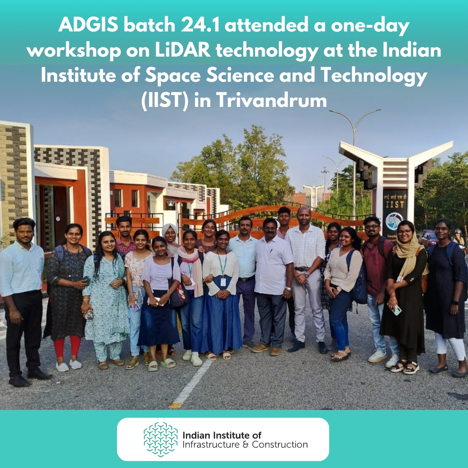
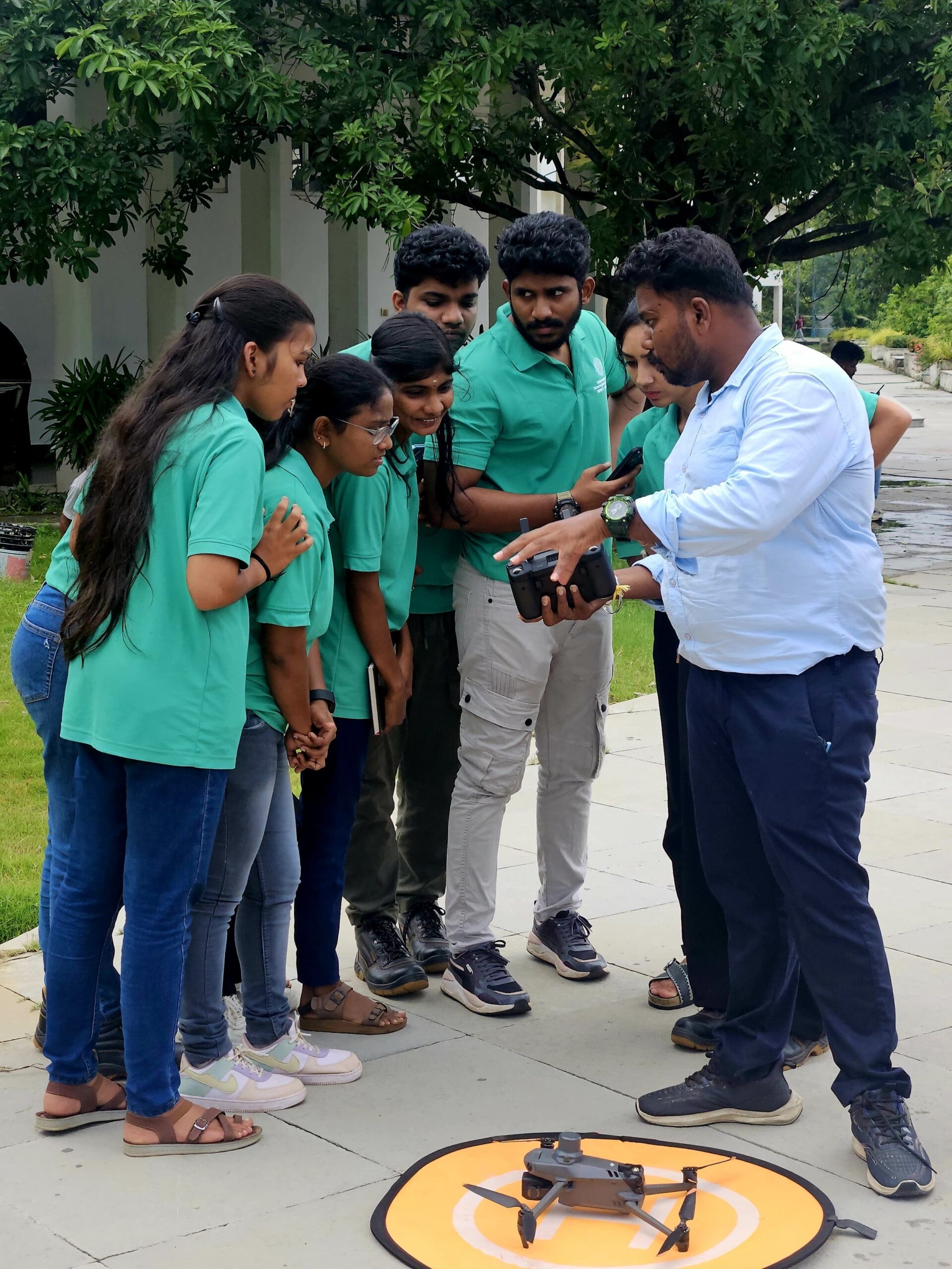
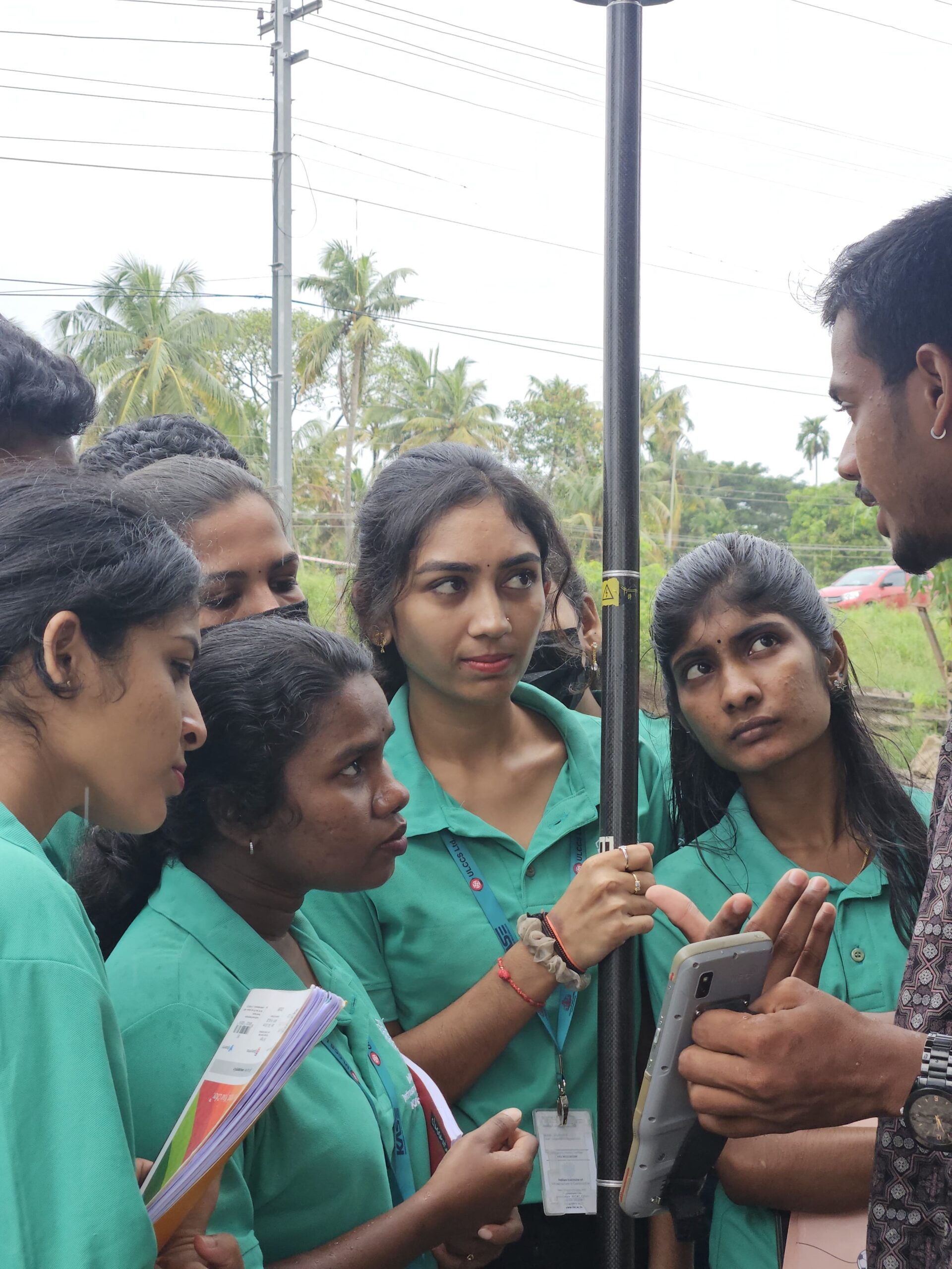
The Advanced Diploma in Geographic Information System (ADGIS) is a dynamic 6-month skilling program designed to equip students with practical, hands-on experience rather than relying on traditional education methods. Our approach focuses on real-world applications and industry-relevant skills, ensuring graduates are job-ready. The program includes 4 months of intensive training covering key topics such as Principles of Remote Sensing, GIS Fundamentals, Python Programming, Digital Image Processing, Spatial Analysis & Modelling, Data Quality Management, Communicative English, and GPS. This is followed by a 2-month industry internship, where students apply their knowledge to real-world projects within leading organizations. By immersing students in practical experiences and real-world problem-solving, the ADGIS program prepares them to meet the demands of the rapidly growing GIS industry. Join us to gain the expertise and hands-on skills that set you apart and ensure your success in a competitive job market.
Key Areas
Focus on GIS principles and applications, Learners gain proficiency in spatial analysis, remote sensing, Python automation, digital image processing, and data quality management. Equips trainees for careers in environmental science, urban planning, and natural resource management.
Programme Opportunities
The GIS industry is experiencing unprecedented growth, with a projected market size of $25 billion by 2025. The demand for GIS professionals is booming across various sectors, including urban planning, environmental management, transportation, and public health. With the ADGIS program, students gain hands-on experience through a 6-month industry oriented skilling, preparing them for a dynamic career in this high-demand field. Join us and become part of the future of geospatial technology, where the opportunities are vast and the impact is significant.
Job Roles and Sectors
GIS Analyst
Remote Sensing Specialist
Urban Planner
Environmental Consultant
Infrastructure and Utility Mapping Specialist
Course Information
Course Status Upcoming
Course Level Supervisory Level
Duration 6 Months
Qualification Any Science Graduate / B.Tech Civil /BE Civil / Diploma Civil / BA Geography
Course Fee Rs.75,600
Faculty


Internship
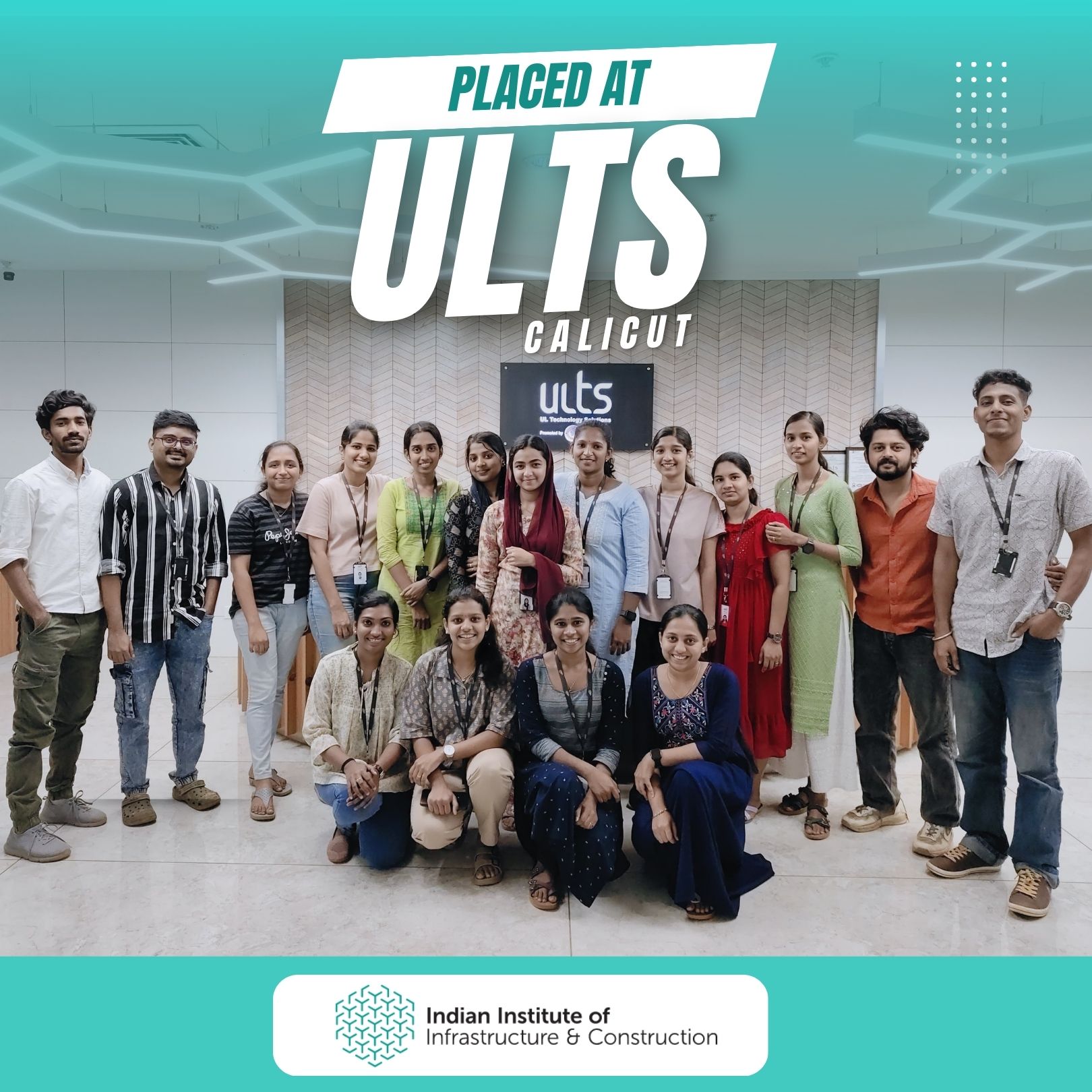
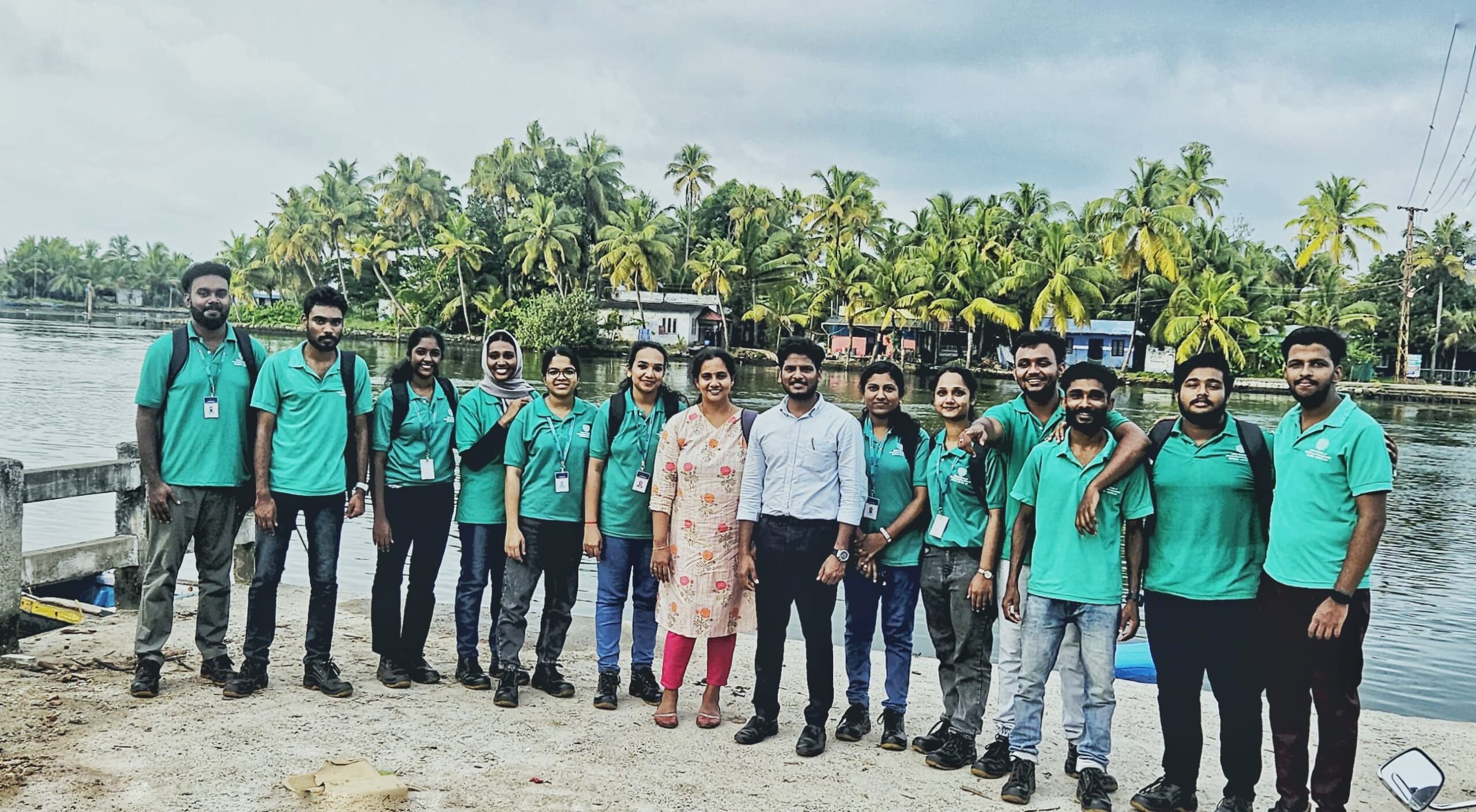
As part of the Advanced Diploma in Geographic Information System (GIS) training program, students will engage in a 2-month core industry internship. This immersive internship provides hands-on experience in the GIS field, allowing students to apply the knowledge and skills acquired during the course to real-world projects.
Key Features of the Internship:
Industry Exposure: Gain practical experience by working with leading organizations in the GIS industry, including government agencies, private sector firms, and non-profit organizations.
Project Work: Participate in meaningful projects that involve data collection, spatial analysis, mapping, and the use of advanced GIS software and tools.
Professional Development: Develop professional skills such as project management, teamwork, and communication through direct involvement in industry practices.
Mentorship: Benefit from the guidance and support of experienced GIS professionals who will mentor and assist you throughout the internship.
Career Preparation: Enhance your resume and build a network of professional contacts, which can lead to future employment opportunities in the GIS field.
This internship is a crucial component of the diploma program, designed to bridge the gap between academic learning and practical application, ensuring students are well-prepared for a successful career in Geographic Information Systems.